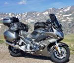
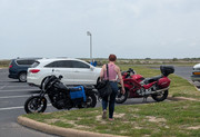
A couple of day ago I headed north to roads paved with more asphalt and smoother surfaces than the roads south of my home. Roads to the south, in the Palouse Wheat fields are cheap seal and in disrepair, so I am learning to adjust my thinking aka roads to the south are not well suited to the FJR so north I went because I was growing tired of looking like a bobble-head on a motorcycle.
The reason to wait is there are mountains up north so the roads need sweeping so waiting has its advantages. I picked a route I knew would be clear.
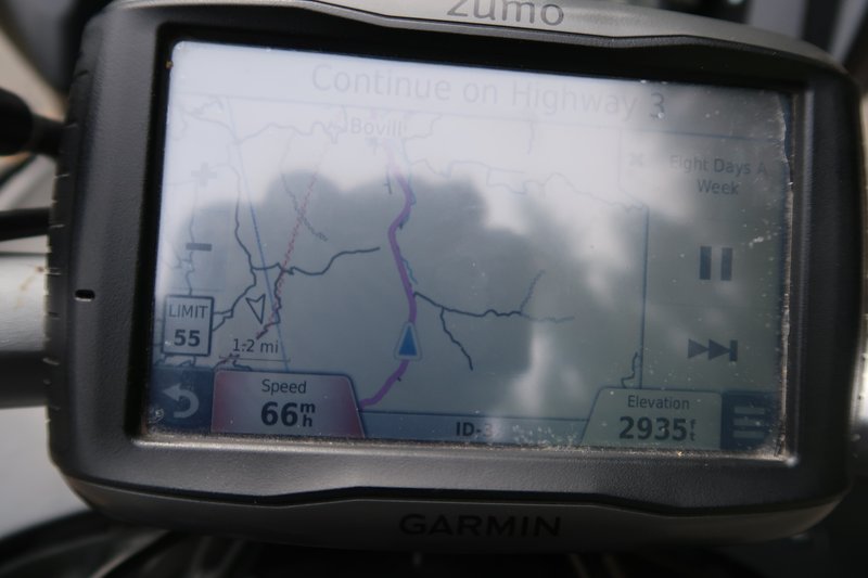
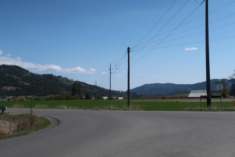
I didn't have a route loaded on the GPS so I took a wrong turn somewhere and ended up on a road I had never been on before, the upside, the down sided it was cheap seal, but it was scenic. Realizing I was off the intended path I told the GPS to go to Newport Washington, so we did.
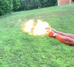
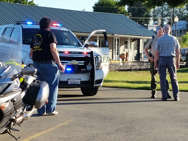
Newport, Washington is where Yamafitter got pulled over the by police, in 2016, for going the wrong way on a one way street. The Canadian Liberation Army got off with a warning of all things. Here is the photo of that event. The cop has a huge grin on his face while Ray pleads Billy's case. Priceless.
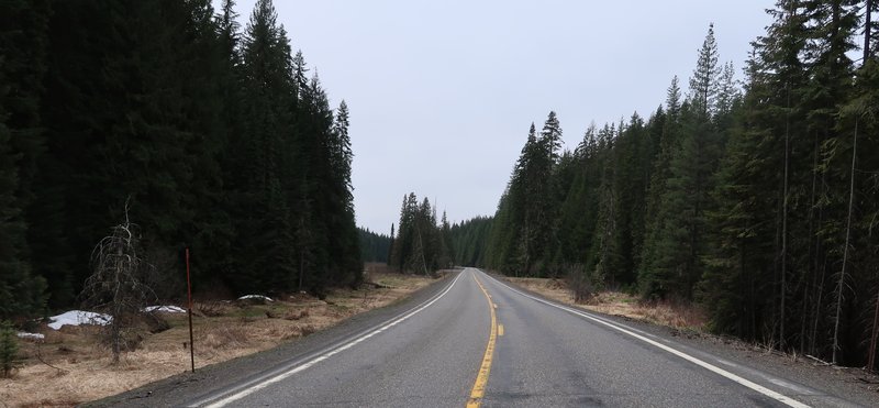
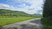
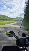
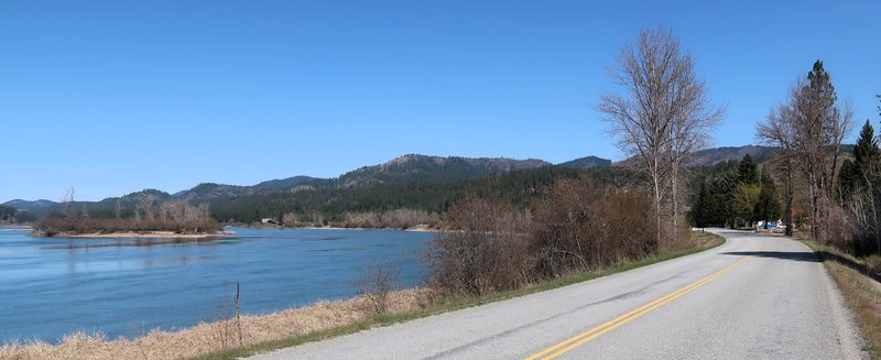
Rather in heading north on State Hwy 20, long, boring and uninteresting, I take the LeClerc road along the Pend Oreille River.
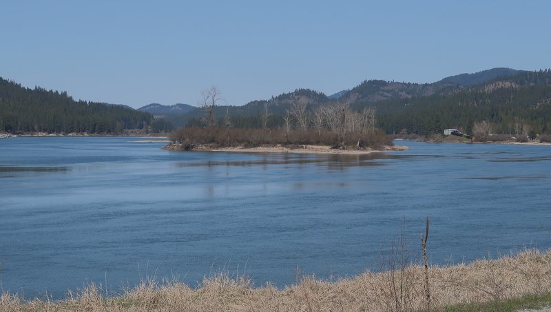
No leaves on the trees yet it was a perfect day for a ride. No summer heat and no wildfire smoke.
This cemetery is on Kalispel Reservation.
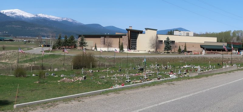
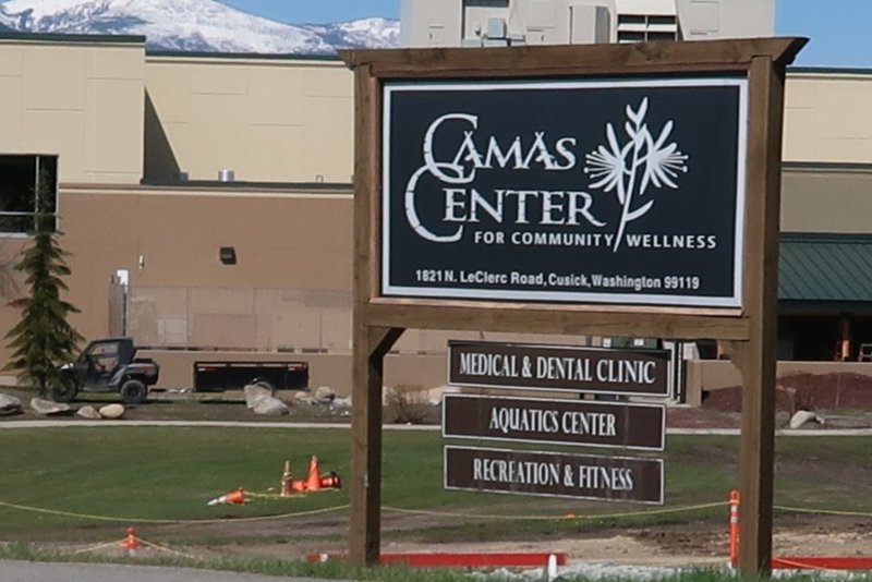
The building in the background is a Tribal Community Center.
It's like a Far Side cartoon.
I have been using a version of Open Street Maps on my Garmin 590, acquired on
alternativaslibres.org.
I really like this map as it has more information on the Garmin 590 screen than the Garmin City Navigator Map. I registered, donated and loaded the North American Map to my PC so it is readable by Basecamp. Using Basecamp I put a subset map on a SD card and it includes maps for British Columbia, Washington, Idaho, Oregon and Montana. Give it a try!
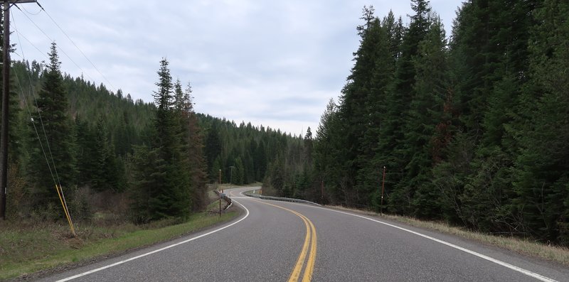
From LeClerc road I head to Tiger Washington, Tony was absent, and on to State Hwy 20 to cross a mountain pass. Twisty fun right out of Tiger was the point of today's ride. I set the FJR from touring mode to sport mode for instant fun and smiles. It is a short blast of uphill enjoyment.
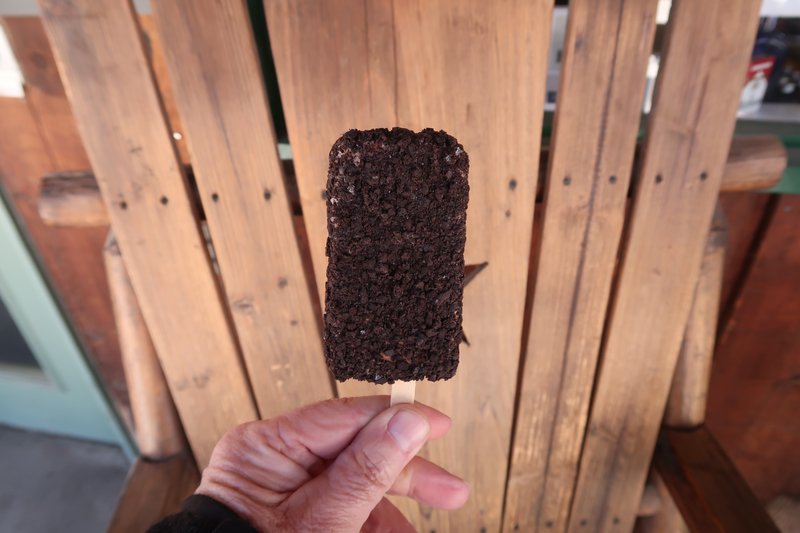
At Beaver Lodge and Resort Campground I have a sandwich and try to imitate Pants. The ice cream choice was very limited and the gas pumps were out of order.
In the
mountains here is a some good dual sport riding but the snow level is about 3200' so those roads are still snowed in. A new place to ride on the mighty DR650 this year. I could even stay at the Resort.
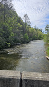
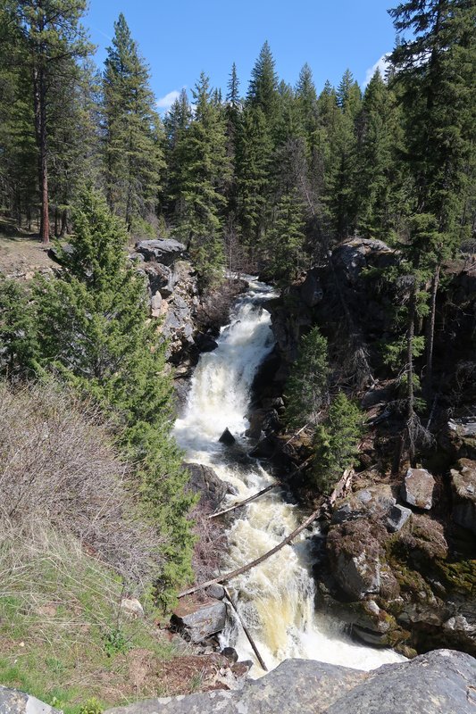
After lunch I continue on Hwy 20 stopping a Crystal Falls for a photo op because the creek is full with spring run off.
Open Street Map has a road on the screen I have never been on so I take it as it goes to the same place I am heading. Very cool and the road was good too. I like this map.
I find a few more roads like this too. One turns to gravel so I turn around.
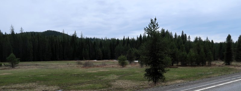
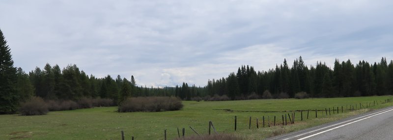
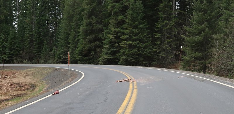
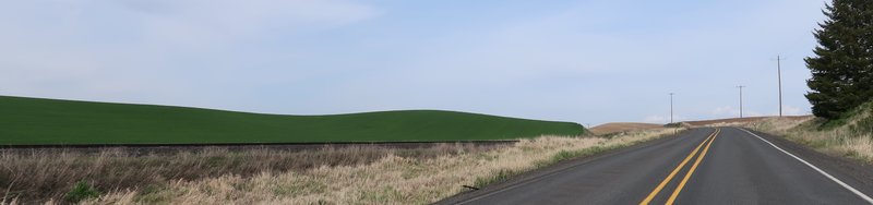
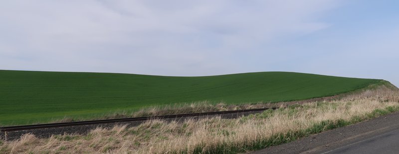
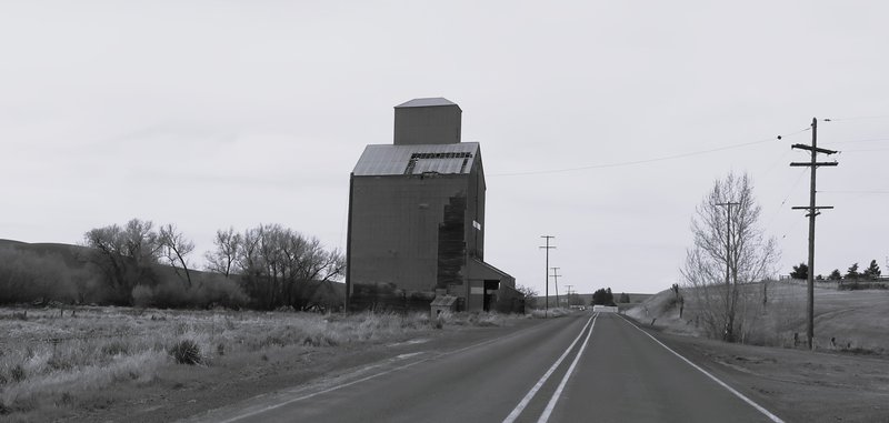
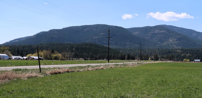
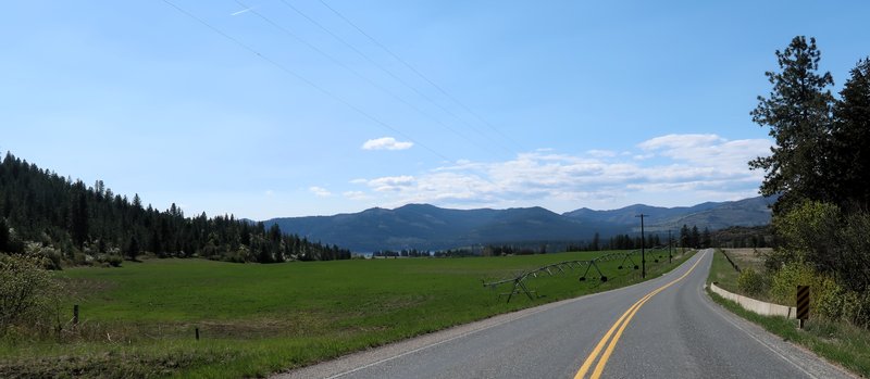
A few photos of some remote roads in rural NE Washington.
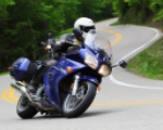
I find the Columbia River and roads I know well on the way home. Other than a couple of turkey's I didn't have any wildlife encounters so it was a very good day to be on the FJR on smooth asphalt.
Searching for roads paved with Asphalt, unless I am riding the mighty DR650 bushpig.